Tornadic supercell – as seen from above (space)

Have you ever wondered how a tornado would look like from above the cloud? Well, it would look like a typical supercell (i.e. not really like a hurricane with a big hole in the middle). This animated gif shows really weall how it looks like (as a time-lapse) when storms pop-up over a few counties.

Notice how they burst out over a line and how the anvil spreads out. You can also see an overshooting top on a few of the storms showing that these are quite powerful storms. Pretty cool, huh?

Leave a Reply

Follow StormChasingUSA

Twitter is StormChasingUSA's main channel. See cool photos, get updates on chases & tours and other interesting aspects of storm chasing.

@stormchasingusa on Twitter

Get info on deals & see amazing photos on our Facebook page.
@StormChasingUSA on Facebook


See amazing photos of tornadoes and supercells on our Instagram account.


Be the first to see our storm videos by subscribing to our Youtube-channel.


@StormChasingUSA on Youtube

Get notified on great deals etc.

Get news about deals, discounts and cool things going on in the storm chasing tour industry by subscribing to our newsletter now:

How’s chasing today?

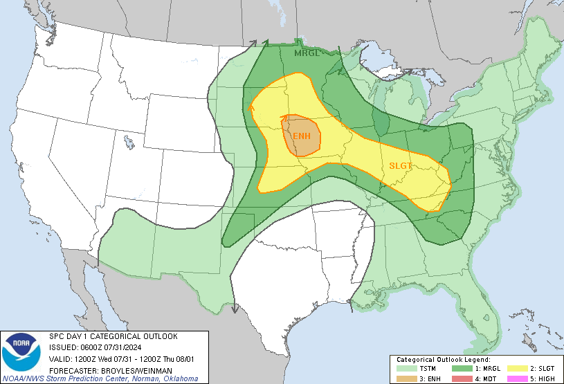
Convective outlook

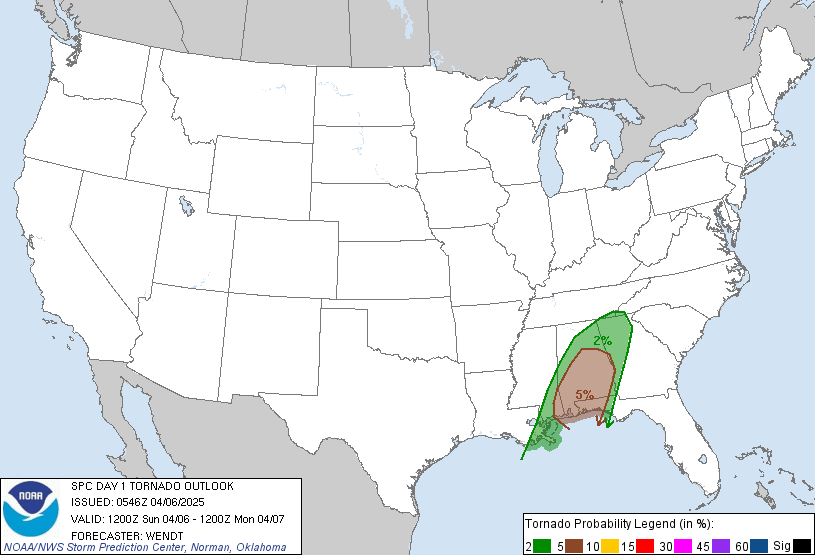
Tornado risk

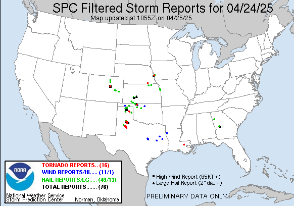
Storms reported

Recent Comments