In my last blog post I discussed learning the basics about storm analysis and the basics about storm chasing. I promised to continue with some basic forecasting understanding after I picked a thing or two about it. I am nowhere near done learning but I thought I’d share what I learned so far. These instructions are not meant to teach you storm forecasting but rather show you which resources to use, and in what order.
My three most difficult challenges while trying to understand storm forecasting were:
- Maps: Which maps should I use? What map should I use to find e.g. moisture, troughs etc?
- Parameters: What should be my key parameters to look for in terms of moisture, wind shear, instability and lift?
- Values: What values should I be looking for? E.g. “So, I see the CAPE value is 1000 in NE Oklahoma. Is that good?”
Before you start to try to forecast storms you really need to understand the basics about storms. How they are created, the necessary ingredients etc. The more knowledge you have beforehand the easier it will be to understand the forecasting concepts.
Most commonly referred to learning resources
Using the wealth of knowledge and helpfulness of other storm chasers on the forum StormTrack.org I was often referred to the following resources: MetEd.Car.Edu, SPC forecast discussions, TheWeatherPrediction.com (especially its “Haby hints”) as well as StormTrack forecast discussions.
I stumbled upon the same problem here as in trying to learn storm analysis. Many of these websites provided a ton of useful information but it was too often samples and “point discussions” about specific topics. It was often one article about Skew-T diagrams, another about moisture but I couldn’t really tie it all together to a “recipe” or a guide on how to address storm forecasting.
- SPC forecast discussion – Although you may pick up a thing or two from here, it is not a place you will learn forecasting from scratch. It is not meant to be either. It will be a really great tool to use as a reference once you have learned the basics, but I don’t see it as a place to start if you want to learn storm forecasting.
- TheWeatherPrediction.com – This is an excellent learning resource and should be bookmarked. It is, however, not a guide that will take you by the hand and teach you forecasting from scratch. I consider it more like a storm forecasting dictionary. It will become your Go To-website for questions like: “Hmmm, I wonder what ‘dewpoint depression’ means and why it is important.”. Google “site:theweatherprediction dewpoint depression” and you will have that question answered promptly and thoroughly.
- Storm Track forecasting discussion – Most days when there is a chance of severe storm there is a forecasting discussion going on here. Typically, one storm chasers writes a post on his or her look at a certain area’s weather conditions; what are the chances of severe weather and why. This is typically followed by replies and follow-ups of other storm chasers who provide their look on the setup. These discussions are really helpful but takes some basic forecasting understanding.
- MetEd UCAR – This is a free online learning resource to learn certain basic fundaments of storms and the tools you can use. You need to create an account (free) in order to enjoy the courses on the site. The courses themselves are highly educational with animated illustrations and voice overs. It is an excellent tool to learn certain concepts, but not really a “complete forecasting guide”.
My chronological approach to learn basic storm forecasting
So, these are all excellent learning resources but to use a storm analogy. This information was a bit above my understanding level and I needed the “lift” to bring my knowledge (in a structured manner) up to these levels to really enable some severe learning!
Once again I will try to guide you in what I believe is the best chronological order to use these, and other, resources.
- Bring out your notebook again. Draw, write, take notes and draw some more. Trying to re-create the illustrations and concepts you learn in your own notebook will really pin-point what you understand, and don’t understand.
- Make sure you have understood the four basic ingredients in a severe thunderstorm, and why they are important. If not, have another go using TheWeatherPrediction.com:
- Moisture
- Instability – MetEd’s section about Buoyancy and CAPE is also great.
- Wind shear
- Lift
- If you haven’t fully understood how to read a Skew-T diagram and understood each portion of it – make sure you do! Skew-T mastery MetEd is an excellent way of learning the concepts. Skew-T is crucial in order to really get a knowledge link between a storm cloud and the parameters that goes with it, which you will find on a map.
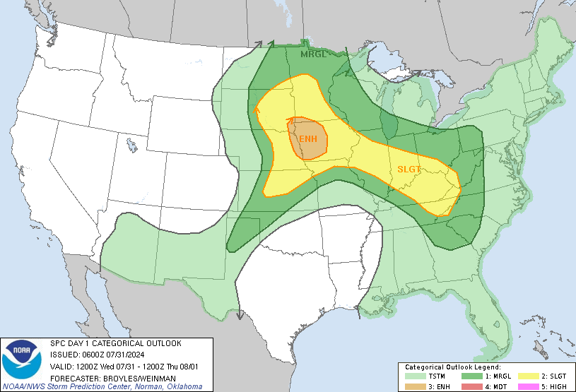
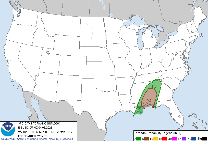
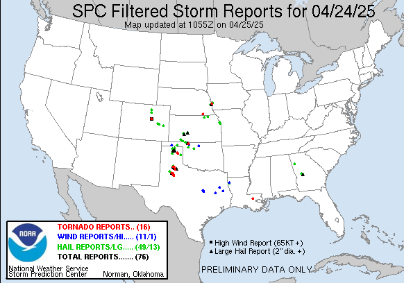
- Understand that the SPC website really holds the answer to most map-related questions you might be asking yourself. You may not understand exactly where a specific weather map is – but it is there! Basically, almost anything you may be looking for can be found on these two maps/pages:
- Mesoscale analysis – Your go to-map to look at certain parameters such as wind shear in a specific area.
- GFS / NAM – Larger scale weather analysis and several day forecasts. This is the map to look at large scale weather systems and see how they may develop in the upcoming days.
- At this point you may find yourself in a position where you may think: “Alright, I know all of these pieces of the puzzle but how do I put it all together?”. For me, my breakthrough was finding this Powerpoint Presentation about Supercell tornado environments by Craig Setzer and Al Pietrycha. What this presentation did for me was to translate the concepts of severe storm ingredients into parameters and values. I finally knew what to look for and which values that could be sufficient. I had a recipe to follow!
- While going through this presentation you will most likely end up with questions about concepts and definitions and this is really where TheWeatherPrediction.com will be extremely handy. Certain concepts are also discussed at MetEd and it is usually a better place to start, but does not cover as many smaller concepts as theWeatherPrediction.com does.
- After doing this you should have some sort of basic understanding on What to look for, Why you are looking for it, Where to look for it and What values you need to have. You have a recipe, albeit full of holes and with plenty of exceptions, but you can now start to Nowcast each day and see if you can find the right ingredients.
- Have a look at Bart Comstock’s excellent Tumbler where he gives an excellent approach to certain days’ weather setups. His heavy usage of weather maps and illustrations is extremely helpful in following his thoughts on each forecast.
- This is also the time when the SPC discussions as well as StormTrack forecast discussions will start to be really useful. You should be able to follow the discussions and grasp what they are referring to. Try to find their observations on “your” weather map as well, and try to follow their line of thoughts.
This is by no means a complete guide to understanding storm forecasting but it should hopefully give you a “skeleton” of knowledge. A skeleton you can now patch up with bits and pieces of information found on all the excellent websites and blogs out there. I had tons of use from StormTrack and its members. My comments and discussions about basic forecasting were mainly in this thread.
Feel free to provide feedback in the comments below:
- Is there any step missing that leaves you hanging?
- Did I miss out on some great resource that should’ve been mentioned?
- Which resources did you rely on to learn forecasting?


