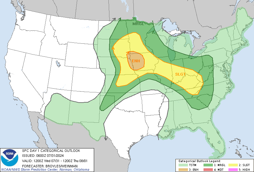
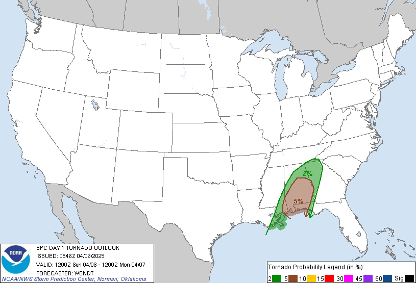
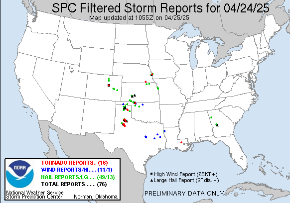
Today’s main target was really Minnesota, although it looked like squall lines and night time chasing. Fortunately, in the morning it turned out SE Wyoming would actually have a chance to produce severe weather. SPC even put a 2% tornado risk in the area where were more or less just prepared to have a down day anyway.
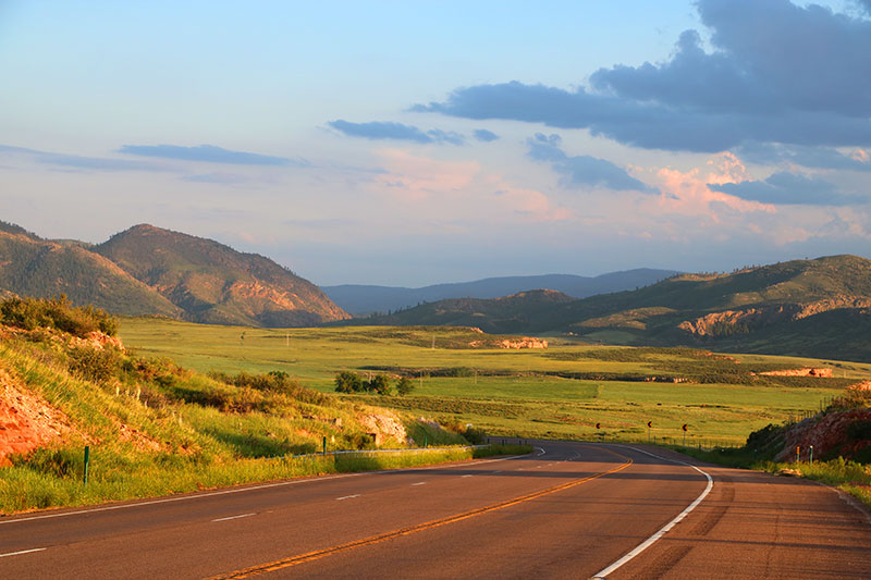
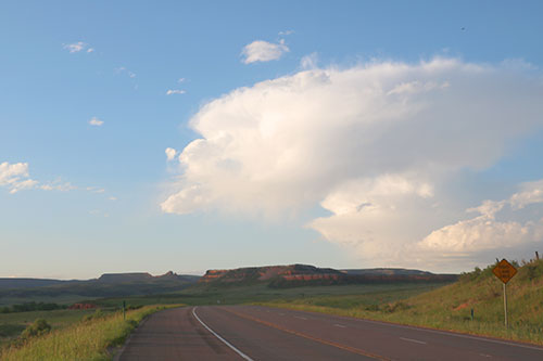
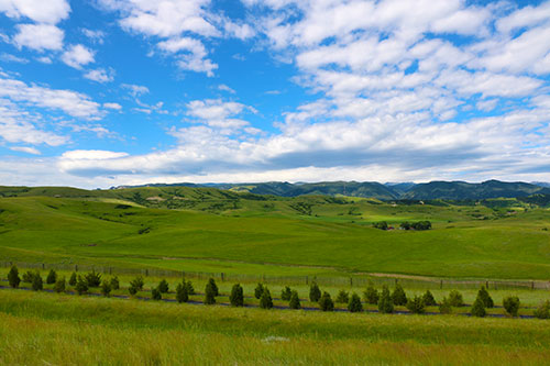
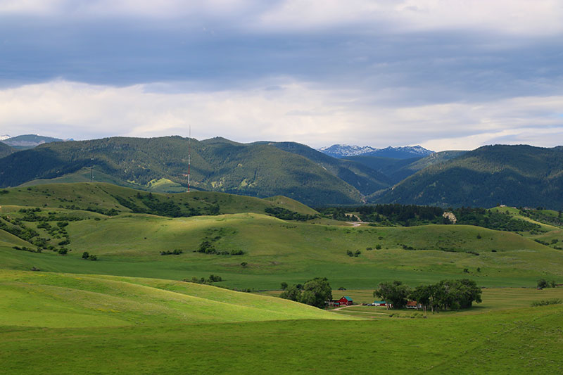
Driving through Wyoming was just as nice as driving through Montana yesterday. The vast fields, hills and mountains make up for scenery that makes you want to stop every 5 minutes to take a new photo.
We stopped in one of those places and started waiting for the moisture and CAPE to move its way in to the area. We waited…and waited…and waited. At around 7 p.m. we gave up and started driving south towards Ft Collins, CO. At that point there was actually a super-tiny tornado warned storm in Casper, WY, where we did our lunch forecast.
The main focus of the day was, however, Monday that is starting to look really good.


