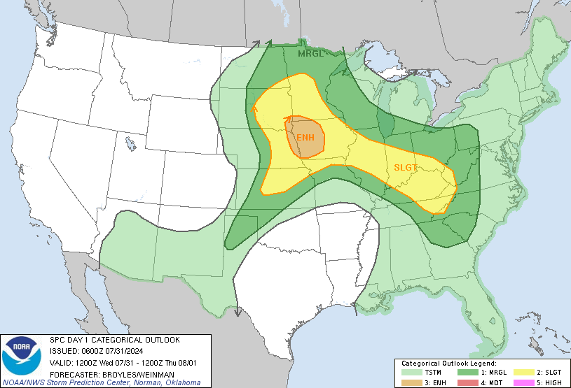
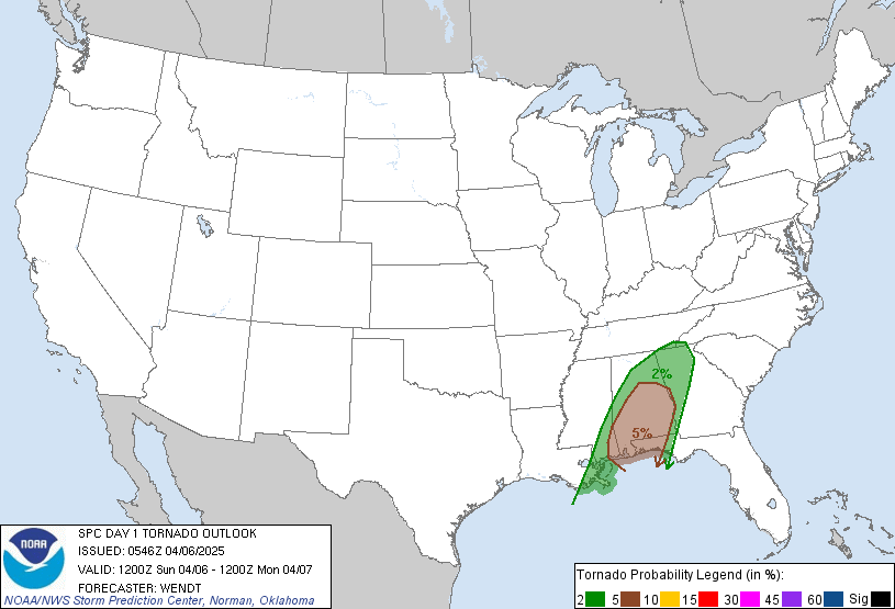
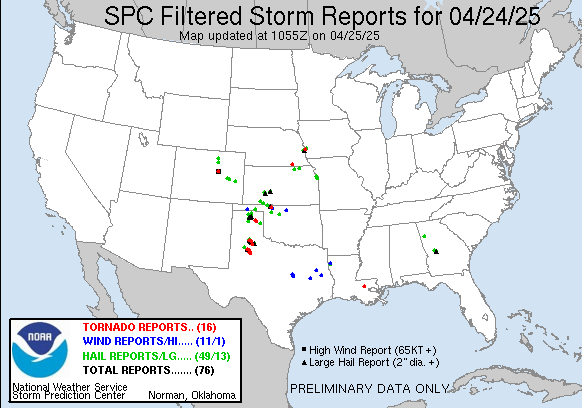
Today was the best chase day since I started chasing with Weather Adventures. The setup was quite obvious in SW South Dakota with good instability and moisture but only a small pocket of shear, SPC had a super small 5% risk over the area.
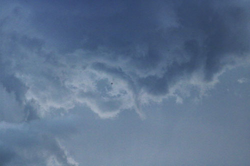
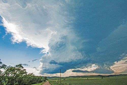
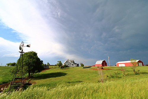
We drove from our hotel in Spearman, SD, to Rapid City and saw a storm initiate already at noon, just south of Spearman. As it progressed over the hills and valleys the storm became organized and disorganized back and forth. It had a wall cloud most of the time and looked quite spectacular with its beefy updraft. We were waiting for it to come down into the plains where there was more moisture and shear. As it did so, it was undercut by the outflow of another larger storm and while standing on a gravel road in the valley we started feeling the cold outflow of the storm – knowing that the show was over for this time…again.
I finally got to meet my chase partner David Williams out chasing yesterday, which was a lot of fun. I met him in one of my first days as well, at a hotel breakfast. It feels very random but I in fact isn’t really.
Considering how the last few days look like our best chance seems to be this Sunday (June 10th).
